
Campaign information
Located approximately 5 km west of Oxford, Oxfordshire, United Kingdom, Wytham Woods (51.7734°N, 1.3384°W) is a prime example of semi-natural woodland, and has been extensively monitored over the past 75 years. The site, which is managed by the University of Oxford as a long-term research forest, consists of a variety of hardwood and softwood species, including ash, beech, hazel, oak and sycamore.
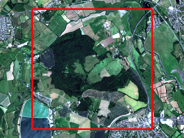
The Wytham Woods campaign took place between 20th and 23rd July 2021. 29 elementary sampling units (ESUs) were characterised (24 with digital hemispherical photography and Konica Minolta SPAD-502 chlorophyll meter measurements, and 5 through visual inspection). These data were upscaled to produce high spatial resolution reference maps using Sentinel-2 data. All datasets were collected and processed according to the FRM Protocols and Procedures and Validation Methodology. The FRM datasets produced from the campaign are available to download below.
Datasets
| Dataset | Description |
|---|---|
| Biophysical variables | |
| In situ reference measurements | In situ reference measurements (and uncertainties) at the elementary sampling unit (ESU) level |
| High spatial resolution reference maps | 20 m spatial resolution reference maps (with per-pixel uncertainties) derived by upscaling the in situ measurements using Sentinel-2 data |
Attribution
If using the FRM4VEG data in publications or reports, a link to the FRM4VEG website should be provided along with the following citations:
Surface reflectance
Origo, N., Gorroño, J., Ryder, J., Nightingale, J. and Bialek, A. 2020, Fiducial Reference Measurements for Validation of Sentinel-2 and PROBA-V surface reflectance products, Remote Sensing of Environment, 242, 111690, 10.1016/j.rse.2020.111690.
Biophysical variables
Brown, L.A., Camacho, F., García-Santos, V., Origo, N., Fuster, B., Morris, H., Pastor-Guzman, J., Sánchez-Zapero, J., Morrone, R., Ryder, J., Nightingale, J., Boccia, V. and Dash, J. 2021, Fiducial Reference Measurements for Vegetation Bio-Geophysical Variables: An End-to-End Uncertainty Evaluation Framework, Remote Sensing, 13 (16), 3194, 10.3390/rs13163194.
The following text should also be incorporated in the acknowledgements:
This study has been undertaken using data from the “Fiducial Reference Measurements for Vegetation – Phase 2” (FRM4VEG – Phase 2) project, which was funded by the European Space Agency.